A GPX file is a digital file that contains geographical information in a format that can be read by GPS (Global Positioning System) devices. GPX stands for GPS Exchange Format, and it is an XML-based data format used to store GPS data. The data stored in a GPX file can include waypoints, tracks, and routes.
Waypoints are markers that indicate a specific location, such as a summit, campsite, or other points of interest. They are typically defined by their longitude and latitude coordinates, and they can also include information such as elevation and a name or description.
Tracks are sequences of waypoints that represent the path of a journey. They are typically recorded in real-time by a GPS device, and they can provide information about the speed, direction, and elevation of a journey.
Routes are sequences of waypoints that indicate a recommended or planned path of travel. They are used to guide a person or vehicle along a specific route, and they can include information about turns, intersections, and other important features.
One of the main benefits of using GPX files is that they can be easily shared between GPS devices and other mapping software. This makes it easy to exchange information about trails, routes, and other geographical information between people and organizations. Additionally, GPX files can be easily edited and customized to suit specific needs and preferences.
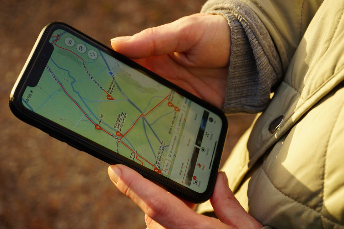
Another advantage of GPX files is that they can be used to display geographical information on a map. This can be useful for hiking, mountain biking, road cycling, and other outdoor activities, as it allows people to see their location and progress on a map in real-time. Some GPS devices can also be programmed to provide audio or visual cues when a person reaches a specific waypoint or reaches the end of a route.

Using GPX files also makes it possible to record and analyze GPS data. This can be useful for tracking progress, identifying areas for improvement, and sharing information with others. For example, a mountain biker could use a GPX file to track their progress on a particular trail, and then compare their times and speeds with those of other riders.
There are many websites and applications that allow people to create, edit, and share GPX files. Some of these services are free, while others require a subscription or payment. Some popular websites and applications for working with GPX files include:
- GPSies
- Garmin Connect
- Strava
- OpenStreetMap
- Basecamp
When working with GPX files, it is important to be mindful of the accuracy and reliability of the information. While GPX files can provide useful information, they are not always up-to-date or accurate, and they may not reflect changes in the terrain or other conditions. It is always a good idea to check the information in a GPX file against other sources and to use common sense when interpreting the information.
In conclusion, GPX files are digital files that contain geographical information that can be read by GPS devices. They can be used to store information about waypoints, tracks, and routes, and they can be easily shared and edited. GPX files can be useful for outdoor activities, as they provide a visual representation of geographical information on a map.